All details of live public consultations relating to statutory plans, as well as any submissions or recommendations made by the Office of the Planning Regulator (OPR) relating to these plans are now accessible on a new intuitive, interactive map format.
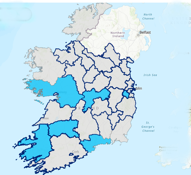
Users can now easily navigate and access information relating to development plans in each local authority by simply clicking on the relevant geographical location on the map. This then brings the user straight to any details on live consultations, submissions issued by the OPR to planning authorities relating to their statutory plans as well as any recommendations issued by the OPR to the Minister for Housing, Planning and Local Government under sections 31AM-AP of the Planning and Development Act.
There is also a filter function which can be used to highlight particular consultations and submissions.
This user-friendly, intuitive tool is part of the OPR’s objective of improving access to information relating to the plan-making process, and to further encourage communities and members of the public to engage in public consultation processes.
The OPR has responsibility for independently assessing all statutory forward planning with a view to ensuring that the plan provides for the proper planning and sustainable development of the area concerned.