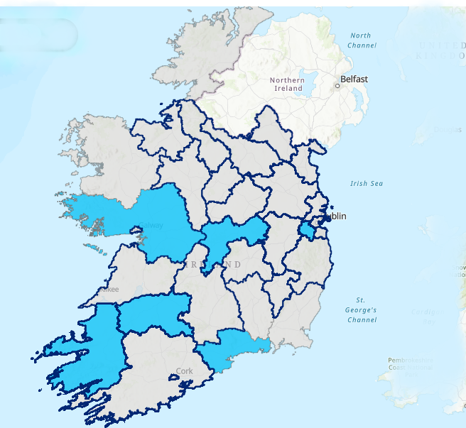
OPR Launches New Interactive Map Displaying Information on Statutory Plans
All details of live public consultations relating to statutory plans, as well as any submissions or recommendations made by the Office of the Planning Regulator (OPR) relating to these plans are now accessible on a new intuitive, interactive map format. Users can now easily navigate and access information relating to development plans in each local […]
OPR Launches New Interactive Map Displaying Information on Statutory Plans Read More »